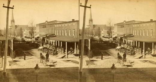
North Huron Street, late 19th Century Ypsilanti. St. Luke’s is the church visible. Ypsilanti Historical Society.
A look at black Ypsilanti less than a decade after the Civil War. Below is a map locating Ypsilanti African American households (red), business or church (green) and domestic servants (blue) based on the 1873 Burch and Polk’s Directory of Ypsilanti with additional information from the 1860, 1870 and 1880 US Census records. Most of most the locations are necessarily approximate. Ypsilanti’s black population was also undoubtedly larger than the 1873 directory would indicate. Zoom in to explore; click on any icon for the name and more information. The icon on the top left opens the map in full screen. Compare this map to the map from 1910 to see changes in the community’s layout.
